Snippets of Information
Location - Geographical areas / Infrastructure
in Kerala
*
Temples in Kerala
Pathiramanal
Kakkathuruthu
* 5 Sep 2024

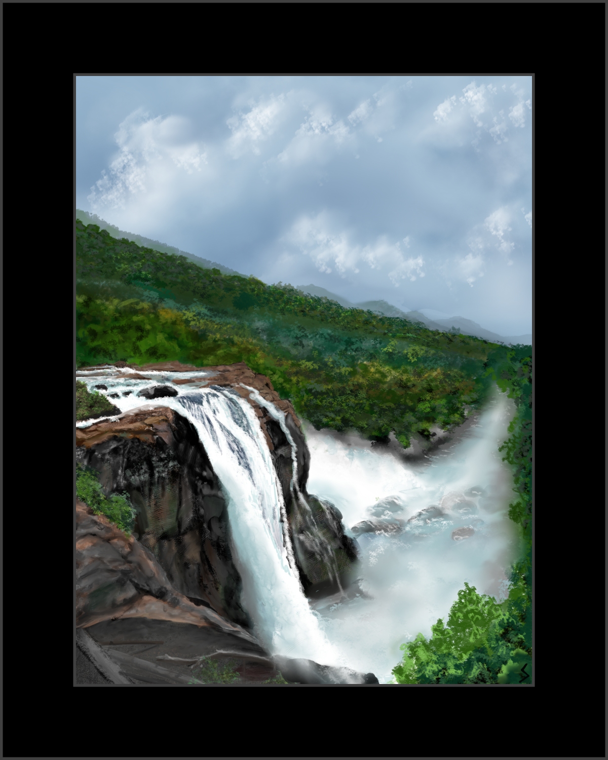
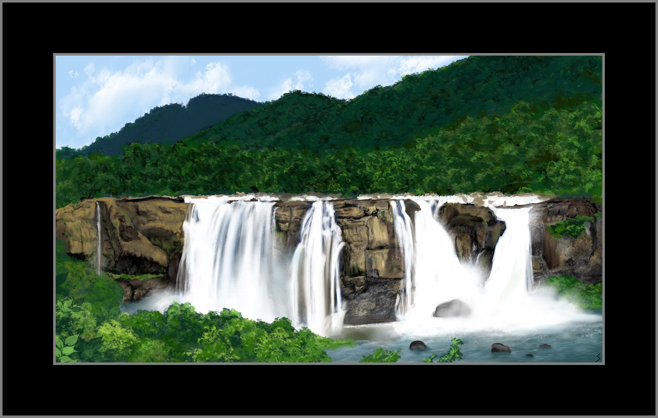
Kerala's largest waterfall at over 80 ft high Athirappilly waterfalls
is located around 63 km from Thrissur district lying at the entrance to
the Sholayar forest ranges, a part of the Chalakudy river in the
Western Ghats.

Digital Painting using Infinite Painter by Sumathi - Athirappilly Falls, Kerala ; Ref Photo: authenticindiatours.com

Digital Painting using Infinite Painter by Sumathi - Athirappilly Falls, Kerala ; Ref Photo: keralatourism
Barely 5 km away is the Vazhachal waterfalls. These waterfalls
became famous for not just their view but the endemic species found in
the surrounding dense forests. Researchers have found four endangered
species of the Hornbill here, the only place they thrive in the entire
Western Ghats.
Source: keralatourism.org
Both falls are from the same river Chalakudy which has its origins in the Anamalai Hills.
Source: dtpcthrissur.com
* 17 Nov 2021
Pamba (Pampa) river - Known as Dakshina Bhageerathi or Dakshina Ganga, Pamba which orginates at Pulachimalai hill is the 3rd longest river in Kerala, after Periyar and Bharathappuzha rivers. The main tributaries of the river are Pambayar, Kakki Ar, Arudai Ar, Kakkad Ar and Kallar.
Sabarimala Ayyappa temple is located on the banks of the Pamba river.
* 17 Nov 2021
Alappuzha rivers
Manimala River originates from at the Mothavara hills in Kottayam
district flows through Alappuzha district and joins the Pamba river at
Muttar.
Achankovil river also known as Kulallada river, originates at Pasukida mettu, Ramakkal Theri and Rishimalai of Kollam district.
Vembanad lake stretches from Alappuzha to Kochi. Pamba,
Achankovil, Manimala, Meenachil and Muvattupuzha rivers discharge into
this lake. Pathiramanal, Perumbalam and Pallippuram islands are situated
in this lake.
Source: alappuzha.nic.in
* 8 Nov 2021
Tulu Nadu is the land of tulu speaking people in parts of Karnataka (Dakshina
Kannada and Udupi districts) and northern parts of Kerala (Kasaragod district upto Chandragiri river). The ethnic
group of these regions are Tuluvas.
Historically, Tulu Nadu consisted of two separate lands of Haiva and
Tuluva, the two ethnic groups. This region was under the reign of Ballal
Kings of Sullia. It is believed that the Bunt/ Nair and the Brahmin
migration to Tulunadu might have happened during the lifetime of the
Kadamba king Mayuravarma at 345 AD. During the reign of Madhvacharya in
the 13th century, around eight monasteries (Mutts) were built in
Udupi. Until the 17th century Tulu Nadu was governed by
feudatories of the Vijayanagara Empire. The longest reigning dynasty of
Tulu Nadu was the Alupas and they were the feudatories of the prominent
dynasties of Karnataka.
After the British defeated Tipu Sultan in 1799, Tulu Nadu was attached
to the Madras Presidency before being reverted to the state of Mysore.
Yakshagana is said to have originated around 400 years ago in Karnataka.
Source: keralatourism.org
|